Location
Southern Asia, between China and India
Geographic coordinates
28° N, 84° E
Area - Total
147,181 sq km (Land: 143,181 sq km, Water: 4,000 sq km)
Area Comparative
Slightly larger than Arkansas
Land boundaries
Total: 2,929 km (China 1,236 km, India 1,690 km)
Coastline
0 km (landlocked)
Maritime claims
None (landlocked)
Climate
Varies from cool summers and severe winters in north to subtropical summers and mild winters in south
Terrain
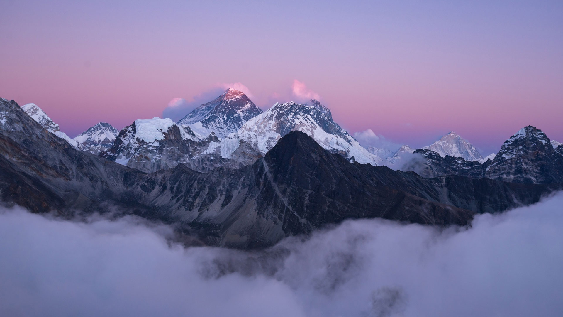
Terai or flat river plain of the Ganges in south, central hill region, rugged Himalayas in north
Elevation extremes
Lowest point: Kechana Kalan 70 m | Highest point: Mount Everest 8,850 m
Natural resources
Quartz, water, timber, hydropower, scenic beauty, small deposits of lignite, copper, cobalt, iron ore
Land use
Arable land: 21.68%, Permanent crops: 0.64%, Other: 77.68% (2001)
Irrigated land
11,350 sq km (1998 est.)
Natural hazards
Severe thunderstorms, flooding, landslides, drought, and famine depending on the timing, intensity, and duration of the summer monsoons
Current Issues
Deforestation (overuse of wood for fuel and lack of alternatives); Contaminated water (with human and animal wastes, agricultural runoff and industrial effluents); wildlife conservation; vehicular emissions.
Environment - International Agreements
Party to: Biodiversity, Climate Change, Desertification, Endangered Species, Hazardous Wastes, Law of the sea, Ozone Layer protection, Tropical Timber 83, Tropical Timber 94, Wetlands signed, but not ratified: Marine Life Conservation.
Geography Note
Landlocked; strategic location between China and India; contains eight of world’s 10 highest peaks, including Mount Everest-the world’s tallest – on the border with China.